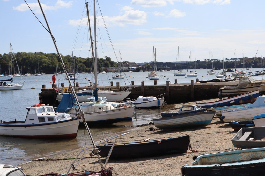
Scenario 1

Scenario 1: New Saltash

What if… Saltash expands in all directions?

Key Features

  • Saltash grows by 50% to 22,000 population with approx. 2,800 homes at Treledan, at previously developed and waterfront sites within the town and extensions to Pill, Carkeel, beyond Latchbrook, Burraton Coombe and below St. Stephens
  • Includes a new primary school either to the south west or the north east, a new health centre at Treledan, highways/active travel/bus service improvements at Glanville Terrace/North Road to serve Pill

Key Effects

  • Improves access to school places and healthcare
  • Significant dependency on improving active travel and bus service infrastructure to connect new housing to the town
  • No new employment land
  • Adverse landscape effects
  • Growth distributed all round the town and its edges limits infrastructure improvements

What could it look like?
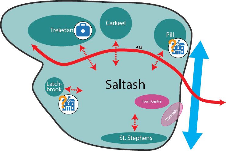
Diagram of Scenario 1 for Saltash. A large outlined area labelled Saltash contains all the development areas. The A38 runs west to east across the northern part of the town and crosses the River Tamar on the eastern edge. North of the A38 are three housing areas: Treledan, with a health centre; Carkeel; and Pill, with a possible primary school marked with a question mark. Each is linked by a travel connection across the A38 to central Saltash. In the west, the Latchbrook housing area is linked to the town and has a second possible primary school, also marked with a question mark. In the south-east are the Town Centre and the Waterside by the river. In the south, the St Stephens housing area is linked to the town.
Key to the Saltash scenario diagrams. Coloured circles show: pale blue-grey for Saltash, dark pink for Town Centre, light pink for Waterside, teal for Homes, purple for Employment, and green for Green Local Gap. A solid red double-headed arrow shows Road: A38. A blue double-headed arrow shows River Tamar. A dotted red double-headed arrow shows Travel connections. Icons show a medical bag for Health Centre, a school building for Primary School, and a shopfront for Local Centre.
