Exploring Scenarios
How can we influence what the future looks like?
We know that Saltash will grow over time. We would like you to help us influence, where, why and how this happens by taking part in our Saltash Scenario Planning engagement. Explore each scenario, think about its potential impact on Saltash, and share your views on which options offer the greatest benefits and which present the greatest challenges.
The engagement survey will be open between Friday 9th October at 9am to Saturday 31st October at 5pm.
The feedback received will contribute to the evidence base for Saltash’s Neighbourhood Priorities Statement and help the Town Council better understand community views on future planning and development.
If you would like to tell us more about your specific housing needs, you can also take part in Cornwall Council’s Planning for the Future Survey. The results will be shared with Saltash Town Council and will help provide a broader understanding of local housing needs and priorities.
If you have any questions about this project please contact enquiries@saltash.gov.uk
What is Scenario Planning?
Scenario Planning is a way of thinking about the long term future of Saltash. It’s not about providing options to choose from, but a way of considering different ways the town could evolve and the positives and negatives of each of these. Once more is understood about how growth will impact the area, informed decisions about how Saltash should grow can be made.
There are several constants in all of the scenarios below, these are:
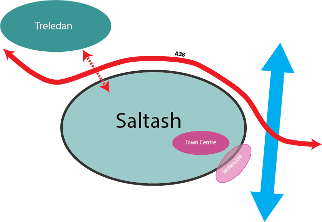
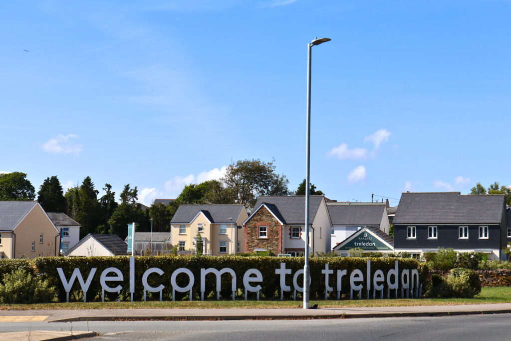
- Growth at Treledan, this has already been decided as part of the Cornwall Local Plan
- Redeveloping land that was previously used for other purposes in the Town Centre and the Waterside areas. For example, this might be an empty warehouse or office being converted into flats or houses. It might also include other types of redevelopment including new local facilities and community spaces.

Explore the scenarios below

By taking part…
You can influence
- Priorities for development in and around Saltash
- Areas where development should be considered
- Areas and facilities that should be protected
- Consideration for infrastructure that might be needed to support growth
- Which approach should be taken when thinking about future growth
The Scenario Planning will not:
- Hold statutory weight in official planning applications
- Detail and decide every aspect of future development
- Overrule decisions already made by other authorities