Scenario 4: Today’s Saltash and New Villages
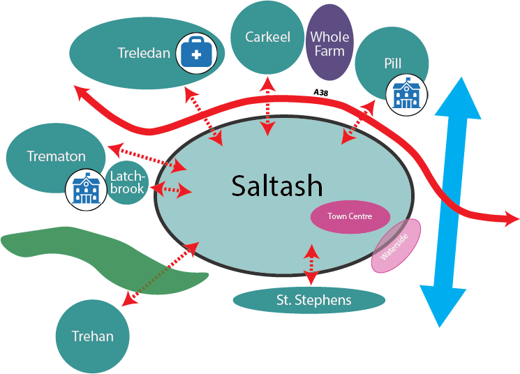
What if… Saltash grows in all directions with new villages at Trematon and Trehan?
Key Features
- Saltash grows by 66% to 25,000 population with approx. 4,300 homes at Treledan, at previously developed and Waterside sites within the town and extensions to Pill, Carkeel, beyond Latchbrook and below St. Stephens and new/extended villages at Trematon and Trehan and major employment land east of Carkeel (Hole Farm)
- Includes a new primary school at Pill, and a new primary school at Trematon to serve it and Trehan; a new health centre at Treledan with improved outreach services to the new villages; high quality bus services and upgraded public rights of way connecting the villages with Saltash
- Prevention of settlement merger by designating local gaps
Key Effects
- Improves access to school places and healthcare
- Significant dependency on improving active travel and bus service infrastructure to connect new housing to the town
- Significant new employment land
- Adverse landscape effects, including major development in the National Landscape
- Growth distributed all round the town and its edges but at a scale that delivers infrastructure improvements
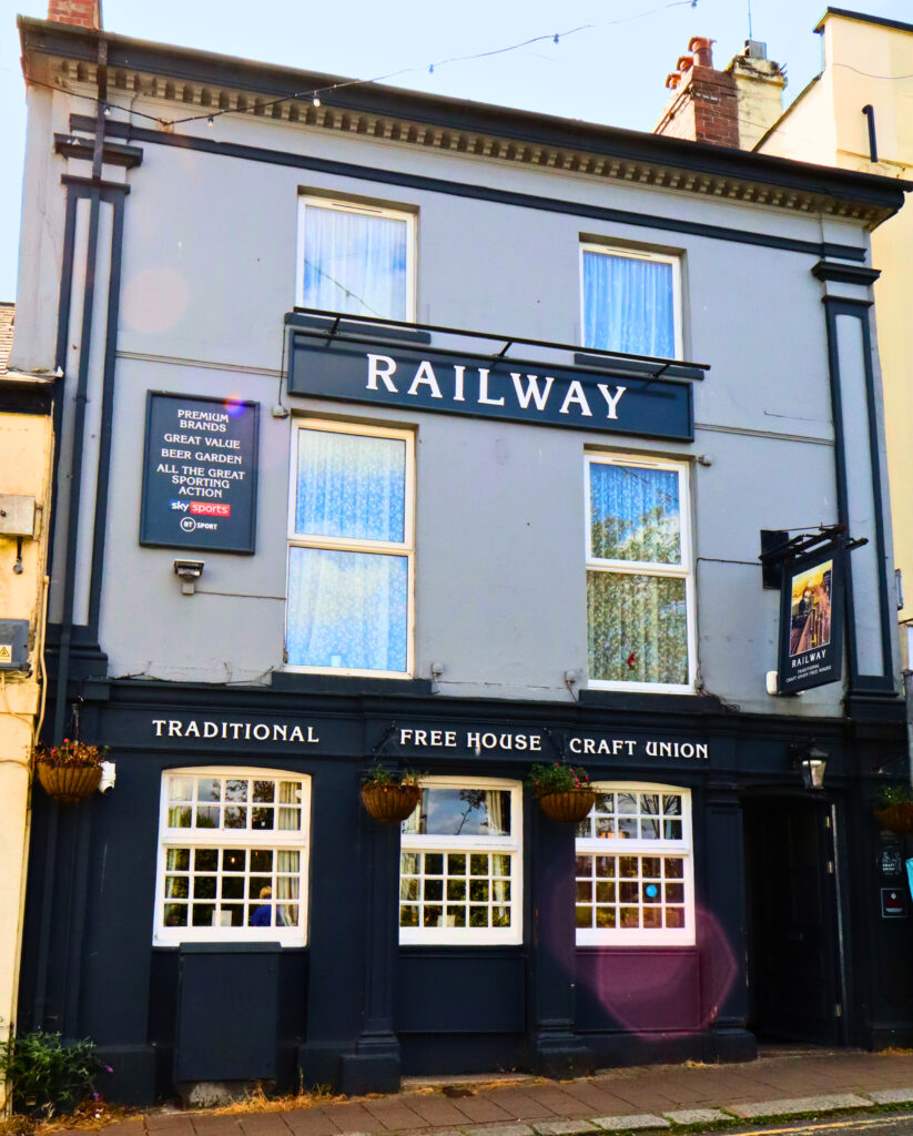
What could it look like?